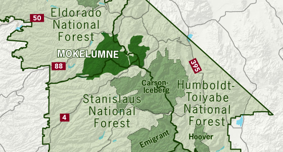
The name “Mokelumne” comes from a Native American word meaning “people of the fish net” and is in reference to the Mokelumne River that flows through the wilderness.
The Mokelumne Wilderness, located in the Sierra Nevada of California, was established to protect a pristine area of rugged mountains, deep canyons, and diverse ecosystems. Its creation was the result of a concerted conservation effort driven by local advocates, environmental groups, and policymakers dedicated to preserving the natural beauty and ecological integrity of the region.
The wilderness designation came through the passage of the Eastern Wilderness Areas Act of 1984. This landmark legislation aimed to safeguard several wilderness areas in California, including the Mokelumne Wilderness. The designation was crucial in ensuring that the Mokelumne’s unique landscape, characterized by granite peaks, alpine lakes, and old-growth forests, would remain free from commercial development and industrial activities.
The Mokelumne Wilderness spans approximately 105,000 acres and is managed by the U.S. Forest Service. The creation of this wilderness area was a response to growing concerns about the impact of human activities on sensitive habitats and the need to maintain a natural environment for future generations. Today, it offers a range of recreational opportunities such as hiking, camping, and wildlife viewing, while preserving the region’s ecological and scenic values. The Mokelumne Wilderness stands as a testament to the importance of protecting natural landscapes in the face of development pressures.
First protected under the Wilderness Act of 1964, the Mokelumne’s borders were expanded under the California Wilderness Act of 1984. The wilderness takes its name from the Mokelumne River, which was named after a Mi-wok Indian village located on the banks of the river in the Central Valley. The Mokelumne Wilderness spans 105,165 acres that straddles parts of the El Dorado, Stanislaus, and Humboldt-Toiyabe National Forests.
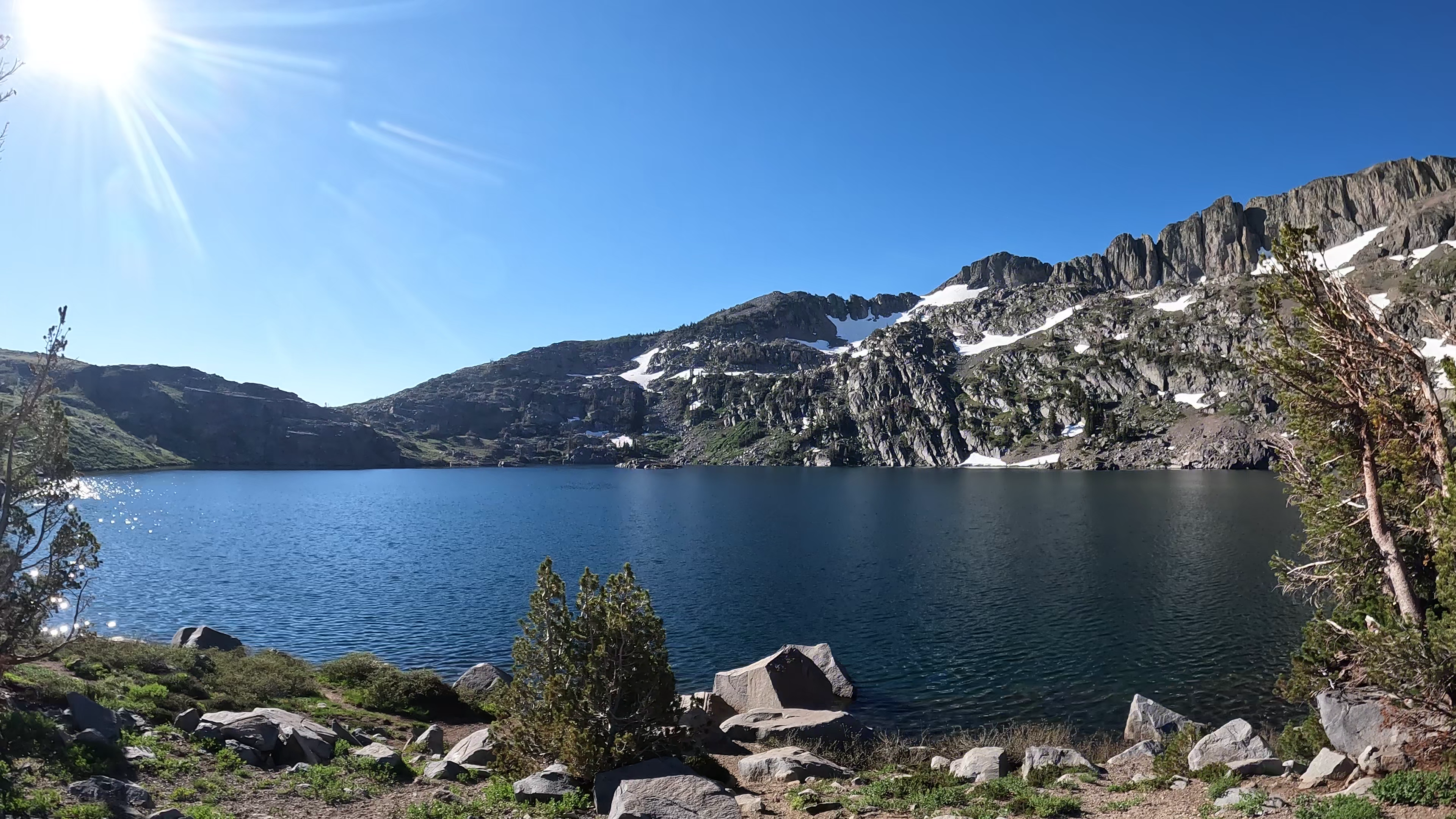
Lake Winnemucca sits at an elevation of about 9,000 feet and is known for its stunning alpine scenery, surrounded by granite peaks and wildflower-filled meadows. It is a popular destination for hikers, as it can be reached via a relatively moderate hike from the Carson Pass trailhead along the Pacific Crest Trail.
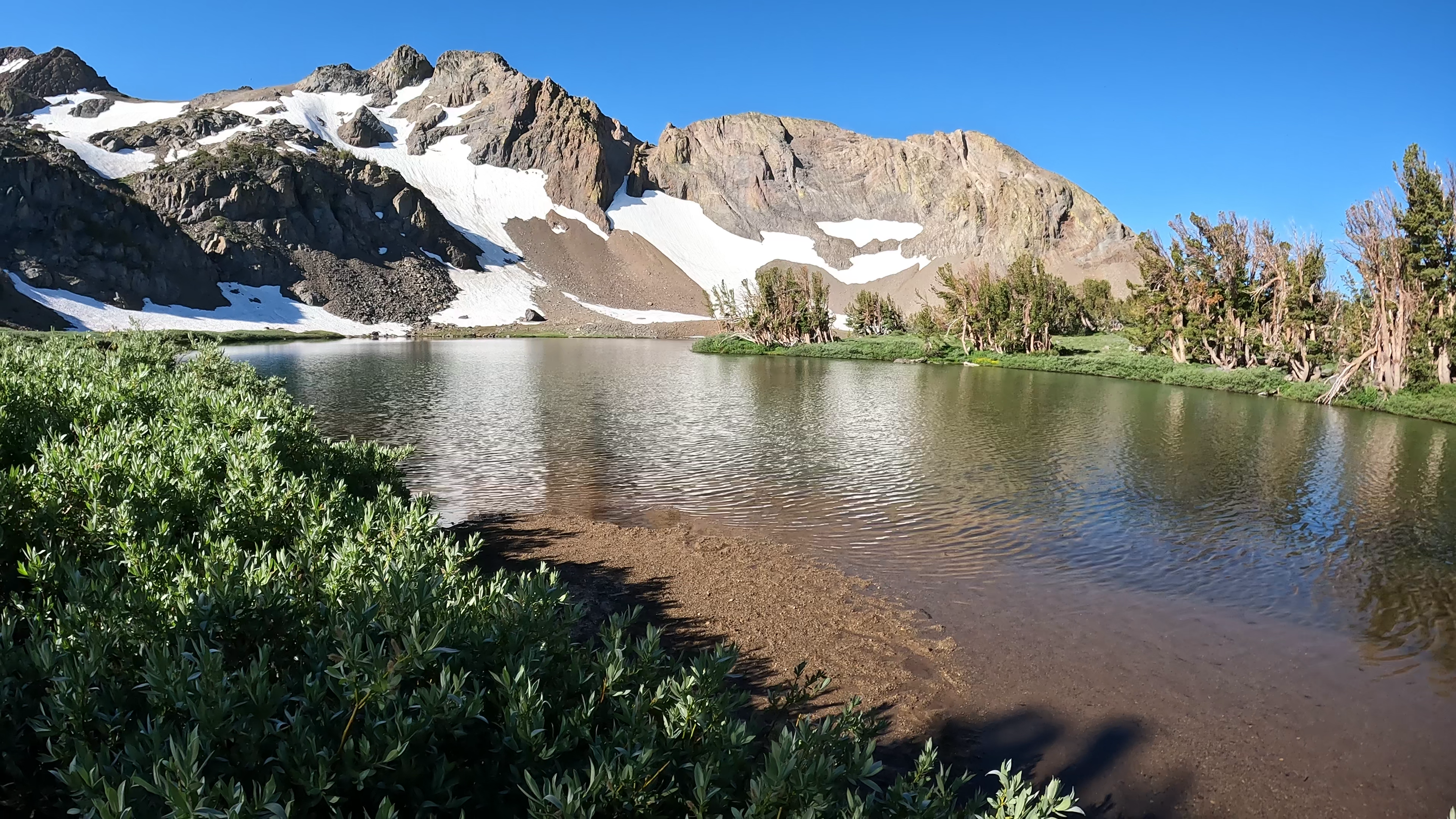
Round Top Lake with The Sisters peak in the background. This peak and neighboring Round Top Peak to its east are among the many dramatic volcanic landscapes within the Wilderness Area.
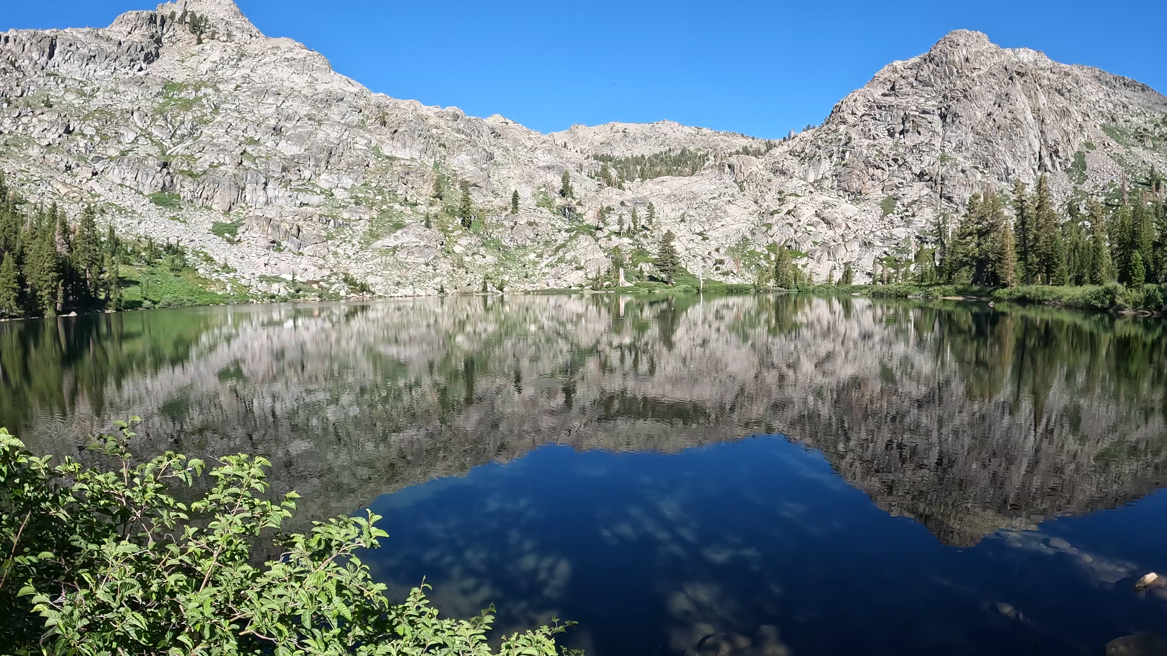
The granitic terrain comprising Fourth of July Peak on the right and Melissa Coray Peak on the left are reflected on Fourth of July Peak.
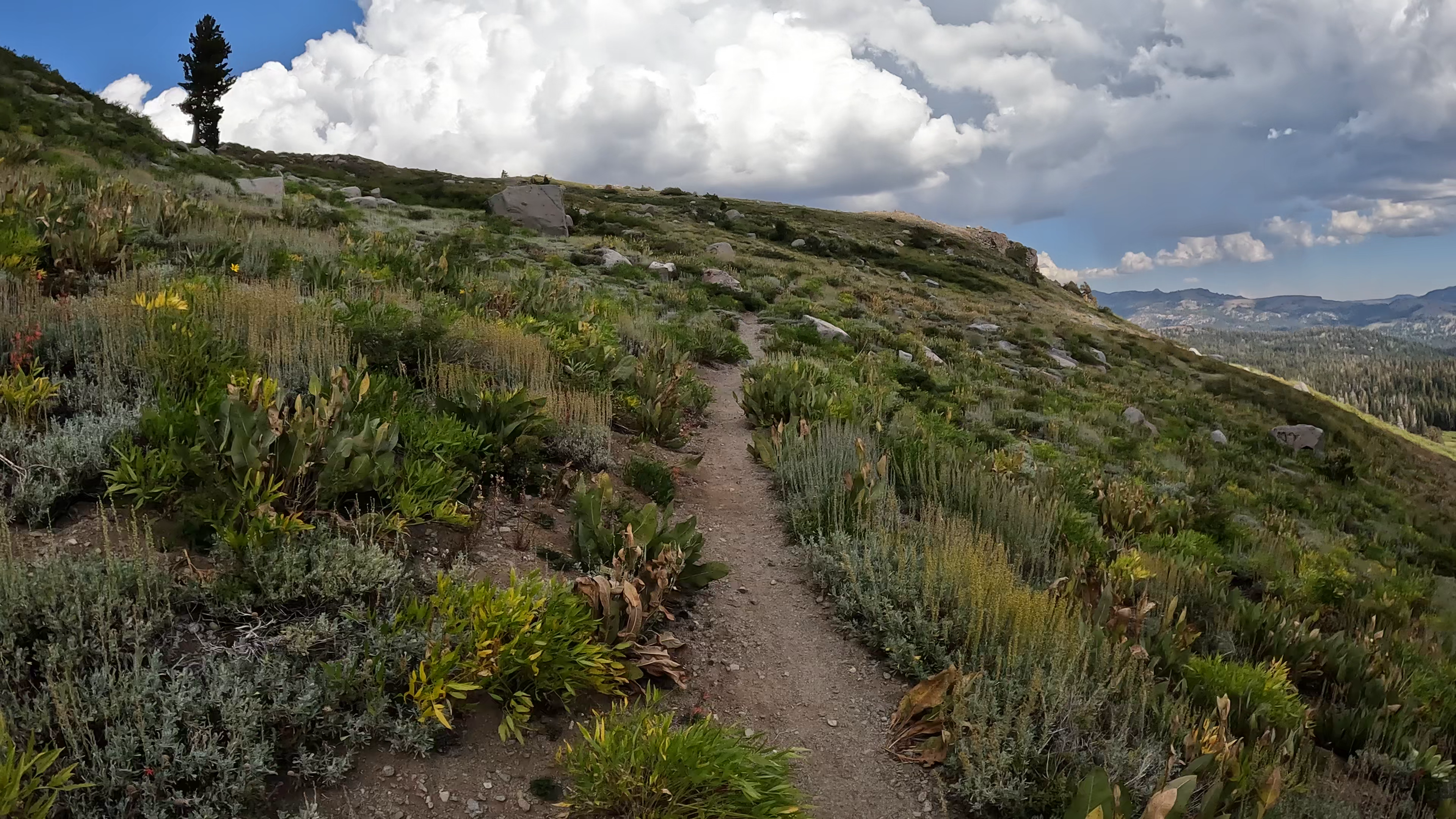
The Pacific Crest Trail traverses through the eastern half of the Mokelumne Wilderness from north to south.
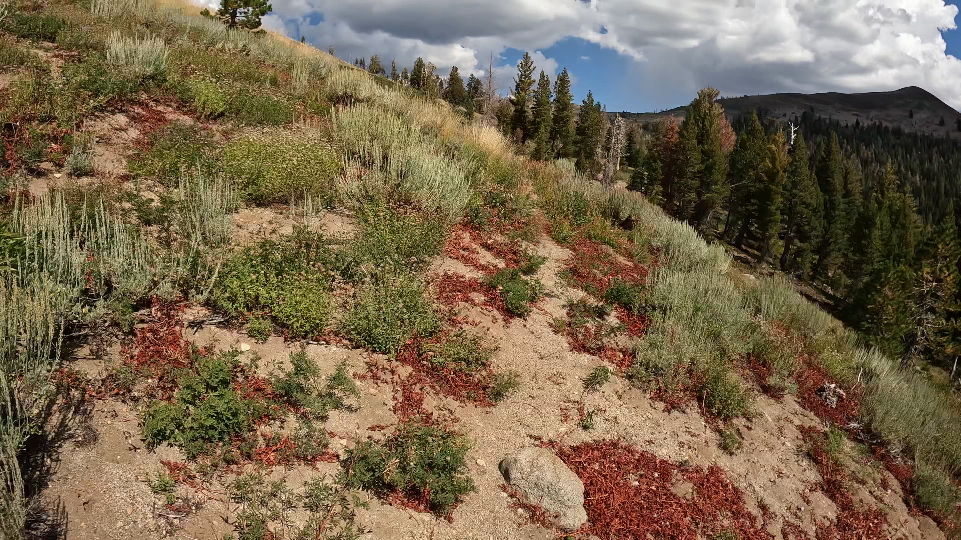
Colorful flora clings to the delicate landscape on the eastern flanks of Round Top Peak.